Utility Potholing & Daylighting
Test holes that turn a paint mark into a measured, photographed, documented fact before anyone puts steel in the ground.
Potholing — also called daylighting or test-hole excavation — is the step that verifies what is actually underground. A locate tells you roughly where a facility runs horizontally. A pothole tells you its exact depth, offset, size, material, and condition, which is what a designer, a bore plan, or a trench crew actually needs.
Eagleway potholes with vacuum excavation only. The hole is cut with water and lifted with a vacuum, so the facility is exposed without contact. Each exposure is measured and photographed, and the data goes back to the owner or engineer in a usable form.
Potholing is one application of our hydrovac fleet. For slot trenching, pit excavation, debris hauling, and general vacuum excavation scopes, see our hydrovac excavation page.
Request a quote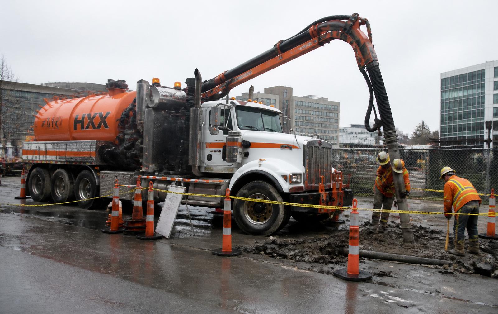
- Method
- Vacuum excavation exclusively — no mechanical digging in the tolerance zone
- Recorded per hole
- Depth to top, offset from reference, size, material, condition
- Hole size
- Small-diameter test holes to minimize restoration
- Uses
- Design/SUE support, pre-bore verification, conflict resolution, as-built confirmation
- Restoration
- Backfill per owner spec with core, asphalt, or turf restoration
When potholing is required
- Before every directional bore crossing an existing facility
- During design, to resolve vertical conflicts before they hit the field
- Where locate marks conflict, are missing, or look wrong
- In corridors with abandoned or undocumented facilities
- To confirm as-built depth on a facility of unknown age
- Before piling, poles, foundations, and deep excavation
What a good test hole delivers
A hole that only proves 'something is down there' has not earned its cost. Our test-hole records give the depth to top of facility from an identified surface reference, the horizontal offset from that same reference, the size and material, the condition of coating or duct, and a photograph that shows all of it in context.
That record is what lets an engineer finalize a profile, a driller set a bore plan with real clearance, and an owner defend the design if there is a dispute later.
Working with SUE and design teams
We regularly perform the field excavation portion of subsurface utility engineering work for design firms and utility owners — potholing to a survey-provided list of locations, holding the crew to the survey control, and turning the data around in the format the design team needs to keep drawings moving.
- Test-hole data sheet per location
- Photographs of each exposed facility
- Field notes tied to survey control or stationing
- Restoration completed and documented
What is the difference between potholing and daylighting?
They describe the same work. 'Potholing' emphasizes the small verification hole; 'daylighting' emphasizes exposing the facility to daylight so it can be seen and measured. Both are done here with vacuum excavation.
How many test holes do I need?
Enough to remove the unknowns that matter: every crossing on a bore alignment, every vertical conflict in the design, and any facility whose depth would change the plan if it were wrong. We will walk the alignment and recommend a count rather than pricing a blanket number.
Can you pothole to a survey list?
Yes. We work to numbered locations, hold survey control, and return the data keyed to that numbering so it maps straight into the drawing set.
Does an 811 locate replace potholing?
No. One-call marks are a horizontal approximation with a tolerance zone and no depth. Depth comes only from exposing the facility.
Send us the test-hole locations and get a real number.
Eagleway Communications LLC — Edinboro, PA. Serving Pennsylvania, Ohio, West Virginia, and New York.